An RV Adventure Exploring Flagstaff
We recently rented an RV (a long time dream of mine) and we had the best time. I’m surprised that I never made it happen sooner. We were itching to get out and about and with all the travel restrictions this was a perfect solution — we were totally self contained and did not need to stop at hotels or restaurants. This was a great ‘get away from Covid’ vacation, while staying safe! We even did dispersed camping, so we avoided campgrounds with potential noise and crowds.
This story was written by Karin. Besides contributing some photos and the video, Franz is a great partner in life and on the road — he makes the adventure more fun!
Pick the right camper for your RV adventure
There are lots of sizes and shapes of RVs to suit every lifestyle and desire. We were looking for small and easy to drive. We chose to go with Cruise America and their C-19. It fits in a parking space (not that I was going to try to park between two cars, but you could).
We learned a lot on this trip. Rvs are rented by the night like a hotel room. Also, the pricing for some of them is also like a hotel room — when demand is up the price is high. It’s good to know where the dumping stations are, and it really is worth the extra time and effort to get your vehicle level for the night!
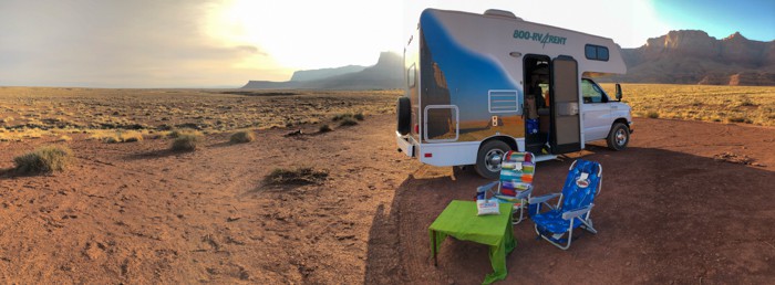
The C-19 was really easy to drive and had pretty good pickup. Once you got a feel for your footprint the driving was pretty easy. We had plenty of storage space and didn’t have to disassemble the dining table every night, because there was a queen size bed over the cab.
Since we weren’t familiar with the ins and outs of finding a campsite I did a lot of research before we left. We brought books and maps, not expecting cell coverage in such remote locations. We also stopped at ranger stations to pick up local maps and get advice about where to hike and camp. While all the offices and visitor centers were closed, most had a manned table outside with maps and someone to offer help and suggestions.
We did a two-week getaway, this post just covers the Flagstaff portion of the trip. There will be more posts soon on the rest of the trip, which will include the Vermilion Cliffs, North Rim of the Grand Canyon and Lake Mead.
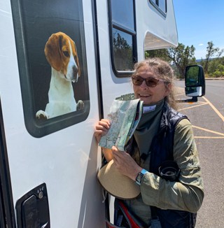
Barney the beagle was a great navigator and big map reader!
12 Note Card Gift Set Perfect for Holiday Gifting!
Unique nature images in an ivory organza fabric gift bag. Includes white A-2 envelopes. You will find them in the Footprints And Photos Etsy store.
Join us on our Flagstaff RV adventure
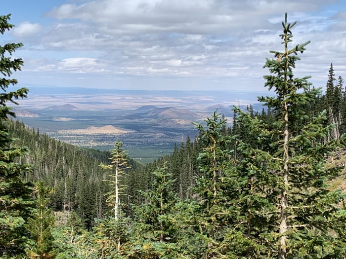
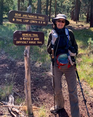
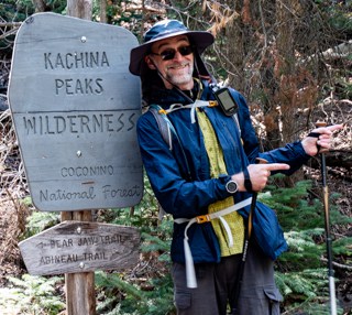
At our first stop in Flagstaff, Franz found what looked like a great hike in the All Trails app. Abineau trail to Bear Jaw trail is an 8.5 mile loop. It is a fairly popular hike, but the day we were hiking we pretty much had the trail to ourselves — we only saw a couple other people out there!
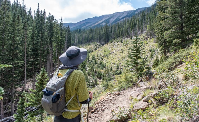
We started up the Abineau section to get the steep part out of the way. It was extra challenging because of the altitude — we practically live at sea level. We later found out that this is the generally recommended direction to hike the route. Although, I saw that some people make this an out and back hike and skip Abineau and just do the other two legs. Whatever works — it’s all beautiful!
Photos for Artists
Get creative with these nature and travel images in the Footprints And Photos Etsy store.
The air is a little thin up here!
The trailhead is at 8,520 feet and goes to 10,315 in 2.3 miles. We did pretty good, but felt the altitude the whole way. The temperature dropped while we were hiking and it got significantly colder by the time we got down. An arctic dip had changed things from unseasonably hot to unseasonably cool. But it’s the mountains – so anything goes!
The challenge for me was the constant uphill, it made progress slow. I was almost ready to give up when we finally cleared the highest point! Phew — now I had my energy back!
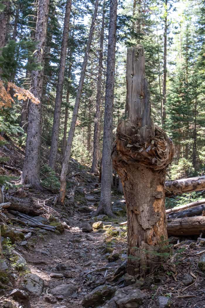
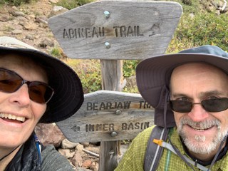
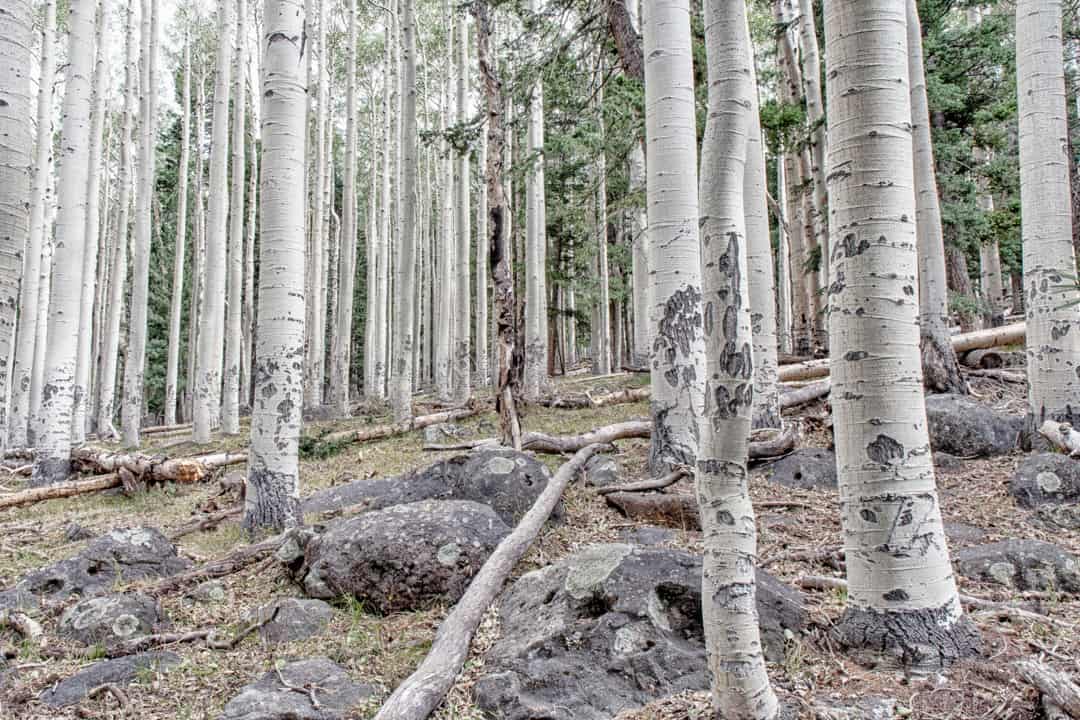
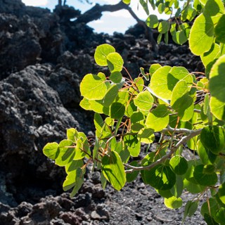
Waterline Road is a slow steady decline — this felt like a totally different hike! Bear Jaw has some steep sections and goes through groves of aspen trees on the way back to the start of the trail. It took us most of the day to complete the hike but it was a great experience — beautiful views and lots of pine and aspen trees.
Being flexible on your RV adventure is a good idea and sometimes a necessity!
We had intended to camp at a site near the trail head, but the cold front had really changed the weather. The forecast was talking about freezing in the mountains. We didn’t want to risk bursting lines in the RV so we moved down 1,000 feet to where we had camped the night before, hoping it would be just a little bit warmer. We lucked out and it stayed above freezing.
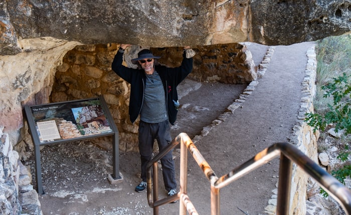
Walnut Canyon is at an elevation of 6,690 feet, just east of Flagstaff and was a short drive from our campsite. The visitor center and museum were closed because of Covid, but we found there was still much to see and plenty of information on signs and handouts. Also, there were volunteers and rangers at Walnut Canyon eager to share information about the area.
Walnut Canyon is a natural rock formation with ancient cliff dwellings. The trail is only a 1 mile loop, but there is a steep staircase to get to the loop. It was nothing after yesterdays hike from Abineau trail to Bear Jaw trail! This was my second visit to Walnut Canyon so I won’t repeat what I’ve already written before. If you are interested in more detail on the Loop trail, you can find it in this post.
Last time I was here with a tour, so I skipped the Rim trail in favor of the Island trail with the dwellings. The Rim trail offers a great overview of the canyon, river, Island trail and other dwellings in the canyon.


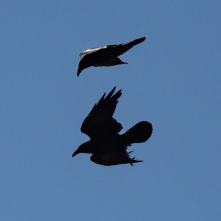
Fly like a raven?
Besides the great views from here, we also saw some ravens playing in the wind along the trail. It looked like they were practicing either a food exchange, or fighting (I’ve seen peregrine falcons do a food exchange, but don’t know if ravens do that). They kept coming together with their feet towards each other, then moving apart. It was quite the show and drew a small crowd.
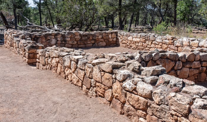
There were some picnic tables near the Rim trail so we took advantage of them and had our lunch in a nice wooded spot near some ruins. It was so peaceful and such a beautiful location.
Our RV adventure moves north
After Walnut Canyon we drove north of Flagstaff to Sunset Crater National Monument. There, we combined three trails to make a longer hike. You can access Bonito Vista, Lava Flow and Lenox Crater trails from the same parking lot.
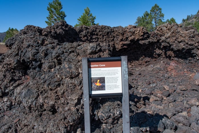
The Bonito Vista trail is a paved trail with signage, that overlooks the Lava Flow trail. You start on the Bonito Vista trail and then can hike down to the Lava Flow trail. This trail is not long, just one mile, but it goes through a lava field with a squeeze-up, a spatter cone, and along a large cinder cone. Everything is well marked and explained with dates, diagrams and geological information.
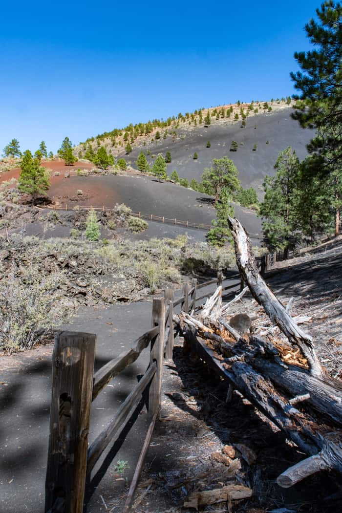
This is a harsh environment with the rock and daytime heat. Walking on the cinder trail is like walking in sand and takes a bit more effort. We are here in the late afternoon so the light, texture and details make for fun photographing.
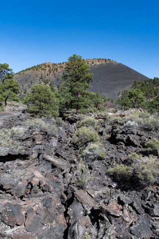
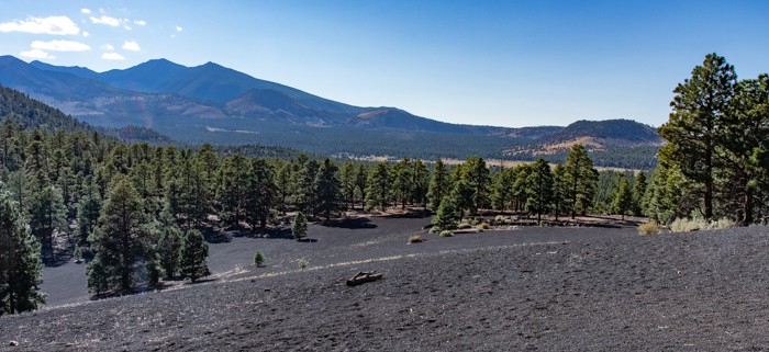
Lenox Crater trail is just west of the Bonito Vista trail and connected by a sidewalk. Another fairly easy hike, just 1.6 miles. This hike has a bit of a hill to climb, but the view is worth it. From the summit you can see Lenox Crater and the San Francisco Mountain. There are a lot more trees here, so it feels more like you are entering a forest.
The next day we came back to complete the Loop Road from Sunset Crater up to Wupatiki National Monument. It is a really a nice ride with trails, viewpoints and pueblos along the way to stop and explore.
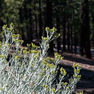
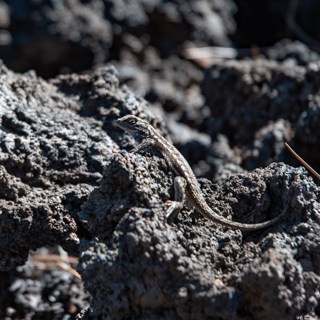

Use your RV as a prop
It wasn’t a great day for scenery shots, because of the fires burning to the west of us, but not every photo is a beauty shot. Sometimes we are just documenting the adventure. So why not have some silly fun and see how many times I could show up in a pano that Franz was taking? Three and 1/8 is the answer. It took a few attempts, because if you’re moving while the other person is panning, you end up with body parts floating in space!
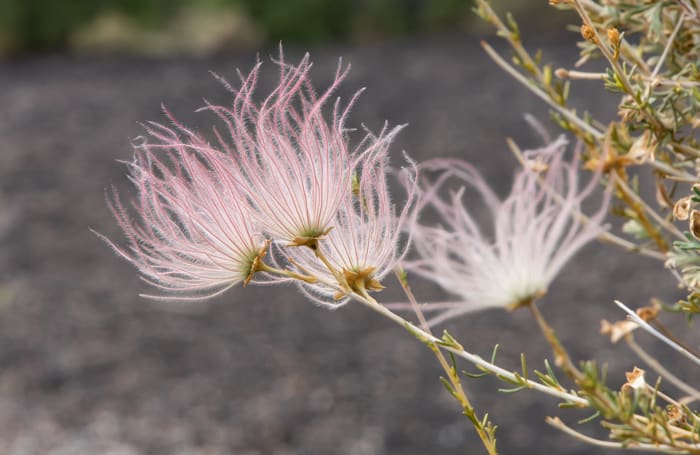
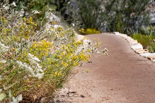
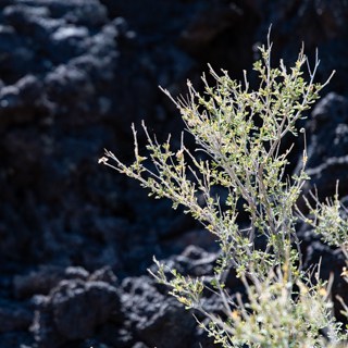
I mostly focused on closeup shots. I really liked these bushes with the feathery flowers on them!
The Loop Road is a beautiful drive
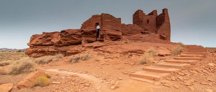
There are several pueblos in Wupatki National Monument. First, we stopped at Wukoki ruin , which is visible for miles around. It is built out in the open on a rise in the land. It seems odd to have such a large building set away from the rest of the settlement.
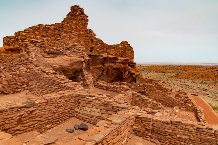
Second, we visited the Wupatki Pueblo, a 104 room farming settlement. It seems a little crazy that this dry environment supported farming. But there is evidence of water storage, irrigation and using natural depressions where the soil was moist to grow crops. This area was in the middle of three larger communities and was a social and trading hub until the mid 1100s’. The trail to explore the site is just a half mile and includes a community room, ball court and blowhole.
The blowhole is really fascinating! When we were there the air was being sucked into the hole. The difference in air temperature and atmospheric pressure creates the blowing effect we feel at the opening. It is surprising how powerful the effect is!
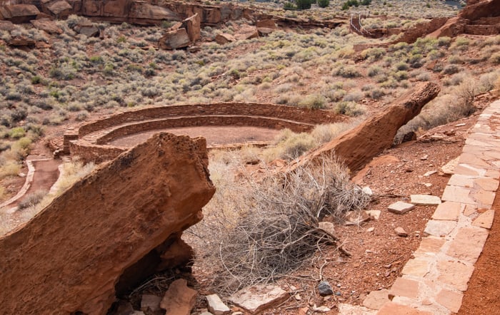
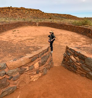
Franz shot this video to show how powerful the air is moving through this blow hole
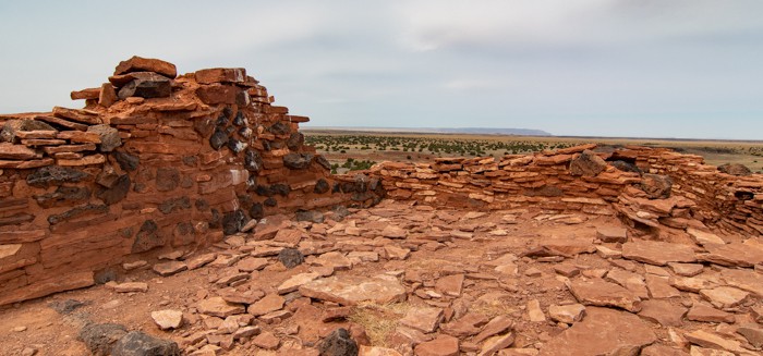
Third, we stopped at the Citadel and Nalakihu Pueblos. This is a quick stop with a .2 mile round-trip walk. These buildings were constructed in the early 1100’s. Surrounding this area is evidence of agriculture fields (soil samples found pollen and seeds from corn, squash, beans, tobacco and cotton — all domesticated crops).
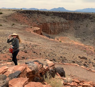
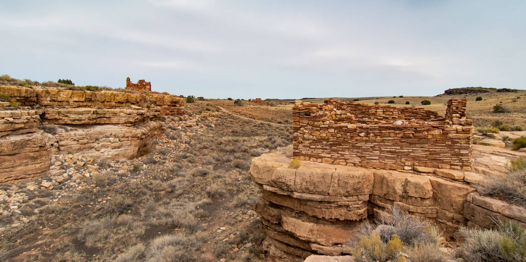
Last, we checked out the Lomaki and Box Canyon Pueblos. The buildings here were built right on the edge of the drop off. The walls are surprisingly vertical and square, when you think about the lack of modern tools and cutting equipment.
Our trip to the Flagstaff area was really memorable. The cooler weather made hiking and exploring easier. There will be more posts soon on the rest of the trip which will include the Vermilion Cliffs, North Rim of the Grand Canyon and Lake Mead. Please be sure to check back!
Make your own footprints…
It is a great time to get out and explore a little closer to home.
Most of use are not traveling like we used to. Take advantage of this time to explore closer to home. We discovered all kinds of local trails when we went looking for new places to hike. It has made getting exercise a lot more interesting to get outside our immediate neighborhood.
For those with a little more time try renting an RV and go a little farther afield — visit your state and national parks. It is a great way to stay self contained, but still go exploring.
Whatever you do, remember to bring along good maps, good snacks and a sense of adventure.
Enjoy the journey!
Karin
Karin H Wilson
Artist | Designer | Photographer | Traveler | Storyteller
I'm Karin and I just love to share a good story — preferably with snacks! I’m particularly interested in capturing the world’s beauty and wonder in photographs.
Recently I created Photos for Artists, packs of images for artists to use in their collage and art projects. You can find a detailed description and photos on my Footprints and Photos Etsy store.
Besides my blog, Footprints & Stories, you can also find my images on Zazzle products. I have two stores — one with Gifts for Travelers and Nature Lovers, the other with Gifts for Gardeners and Lovers of Flowers. Items include wedding invitations, tote bags, mugs, journals and more. Every product is backed by the Zazzle guarantee.
Please use the links provided as it helps me buy better snacks (and funds the website)!

Love your adventure. Thanks for sharing
Thanks so much Diane! I am finding these trips out into nature really good for the soul!